REAL ESTATE
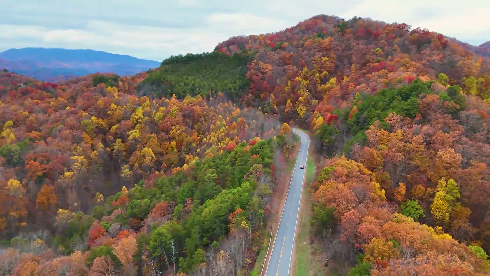
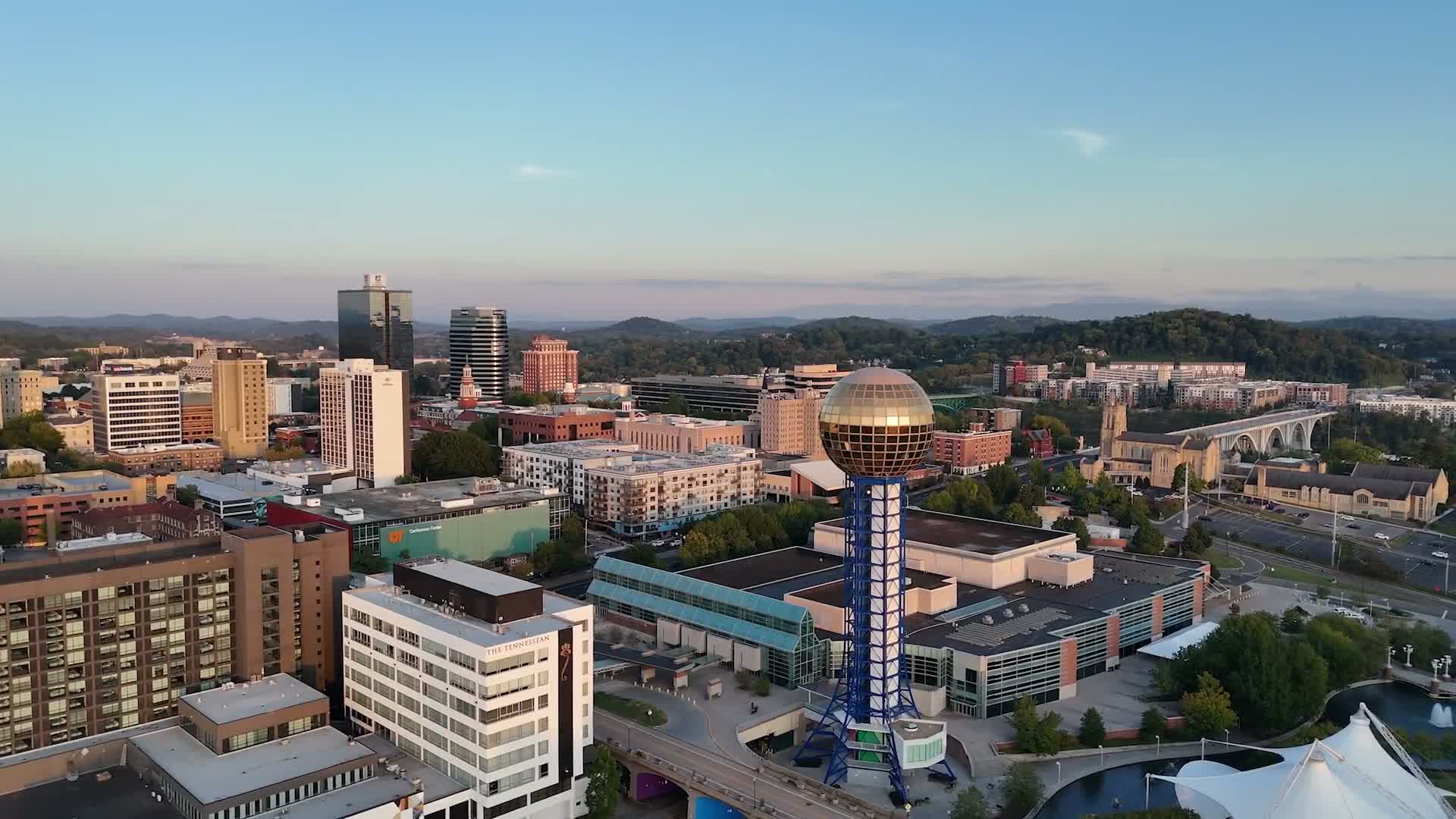
Level up your real estate game with professional aerial photography that showcases properties and their surrounding areas with clarity and impact.
Why aerial shots matter
Provide context: Show lot size, landscaping, proximity to parks, water, schools, transit, and neighborhood amenities.
Highlight features: Capture driveways, pools, patios, roofs, and outdoor living spaces that ground-level photos miss.
Boost listings: Eye-catching aerial images attract more views, longer engagement, and higher perceived value.
Aid decision-making: Buyers get a true sense of property boundaries, orientation, and sunlight exposure.
What we deliver
High-resolution drone photos optimized for MLS, social media, print, and signage
Composite shots and wide-angle perspectives that reveal entire parcels and neighboring lots
Aerial panoramas and altitude-varied images to emphasize scale and sightlines
Clean editing, color-correction, and framing tailored to real estate marketing
Ideal uses
Listings for single-family homes, estates, condos, and developments
Land and lot sales, including acreage and subdivision overviews
Pre-construction site surveys and progress documentation
Marketing brochures, virtual tours, and social media campaigns
Safety and compliance
FAA-compliant pilots
Flight planning for privacy and minimal disruption to neighbors
Adherence to local regulations and no-fly zones
How to get started
Schedule a consultation to discuss property type, shot list, and timing for optimal light
Receive a tailored quote based on property size, location, and deliverables
Book a session and get professionally edited images ready for listing and promotion
Make every listing stand out—use aerial photography to reveal the full story of the property and its surroundings. Contact MJACKSONMEDIA to elevate your real estate marketing.